Bear Creek Historical Project
A Study of the Land and Its People
GEOGRAPHY OF PATAPSCO NECK

THE NECK
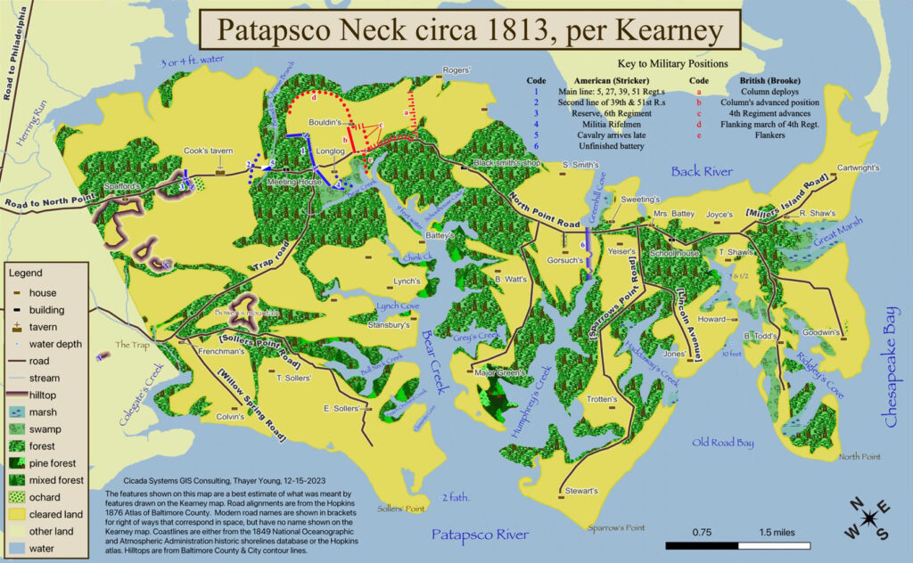
Patapsco Neck, sometimes called North Point Peninsula, is a low-lying sand and gravel-covered peninsula, with a maximum elevation of about 20 feet above sea level.
It begins just to the east of the City of Baltimore. From a line that runs from Colgate Creek in the south to Herring Run in the north, Patapsco Neck runs generally SE to Chesapeake Bay where it ends at the North Point-Fort Howard area. Encompassing approximately 35 sq miles, only about 23 sq miles of that is land. The other 12 sq miles is water in the form of creeks, inlets, and marsh.


GEOLOGY AND SOIL
The majority of Patapsco Neck is influenced by a geologic base of gravel, sand, silt, and clay. Under them are cobbles and boulders. When these silts, sands, and clays, mix with organic material like leaves and other decomposing plant materials, they form different kinds of loam soils that are good for agriculture. The particular loams found along Patapsco Neck range from strongly acidic to very strongly acidic making them good for growing white oak, scarlet oak, loblolly pine, red maple, yellow poplar, sweet gum, and magnolia trees.